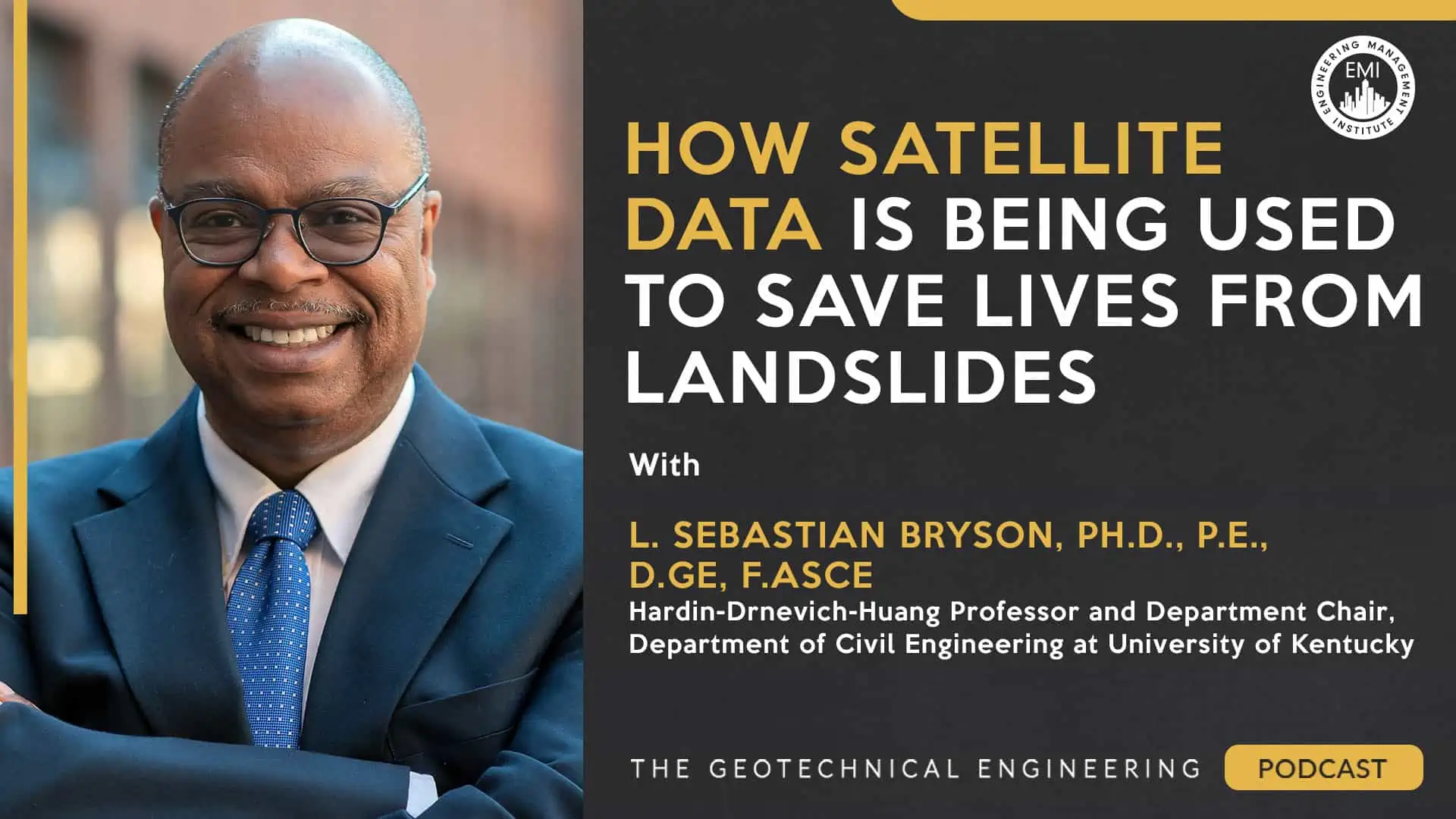
Podcast: Play in new window | Download | Embed

***You can view the video version of this episode here.***
Engineering Quotes:
Here Are Some of the Questions We Ask Sebastian:
- Could you explain geo-hazard assessments and their relation to your current research on landslides?
- How are satellite data and remote sensing techniques utilized for assessing and predicting landslides, and could you provide examples and the types of data collected and analyzed in this field?
- How do you analyze satellite data to identify specific regions or communities?
- What are the primary benefits of utilizing satellite data in landslide assessment as opposed to conventional methods?
- Could you provide an overview of your current research projects focused on landslide geohazard assessment and prediction, highlighting their key objectives and potential implications?
- Can you please explain the deformation-based design methodology in geotechnical engineering and discuss its significance in the field?
- What challenges and limitations have you faced in utilizing satellite data for landslide assessments and prediction, and how do you plan to tackle them in your research?
- What are some other geotechnical or geohazard applications for satellite data, besides landslides, such as monitoring cars and surface depressions, and are there any other potential uses for this technology?
- How have your recognitions as a fellow of the American Society of Civil Engineers (ASCE) and as a certified Diplomate Geotechnical Engineer (DE) by the Academy of Geo Professionals enhanced your work and research in geotechnical engineering?
- What advice would you offer to students or aspiring researchers interested in pursuing a career in geotechnical engineering, specifically in utilizing satellite data for specialized Geo hazard assessment?
- Could you provide any additional resources or references for listeners interested in learning more about utilizing satellite data for land-side assessments and predictions?
Here Are Some of the Key Points Discussed About How Satellite Data Is Being Used to Save Lives From Landslides
[Read more…] about TGEP 077: How Satellite Data Is Being Used to Save Lives From Landslides


